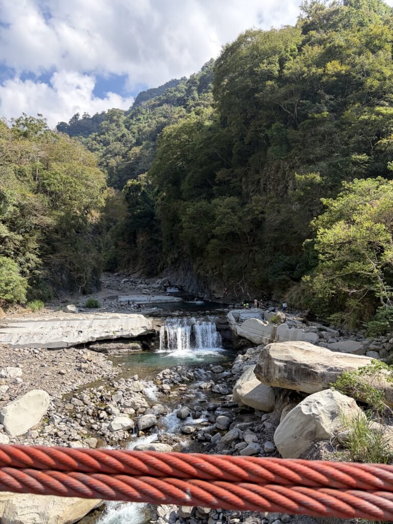
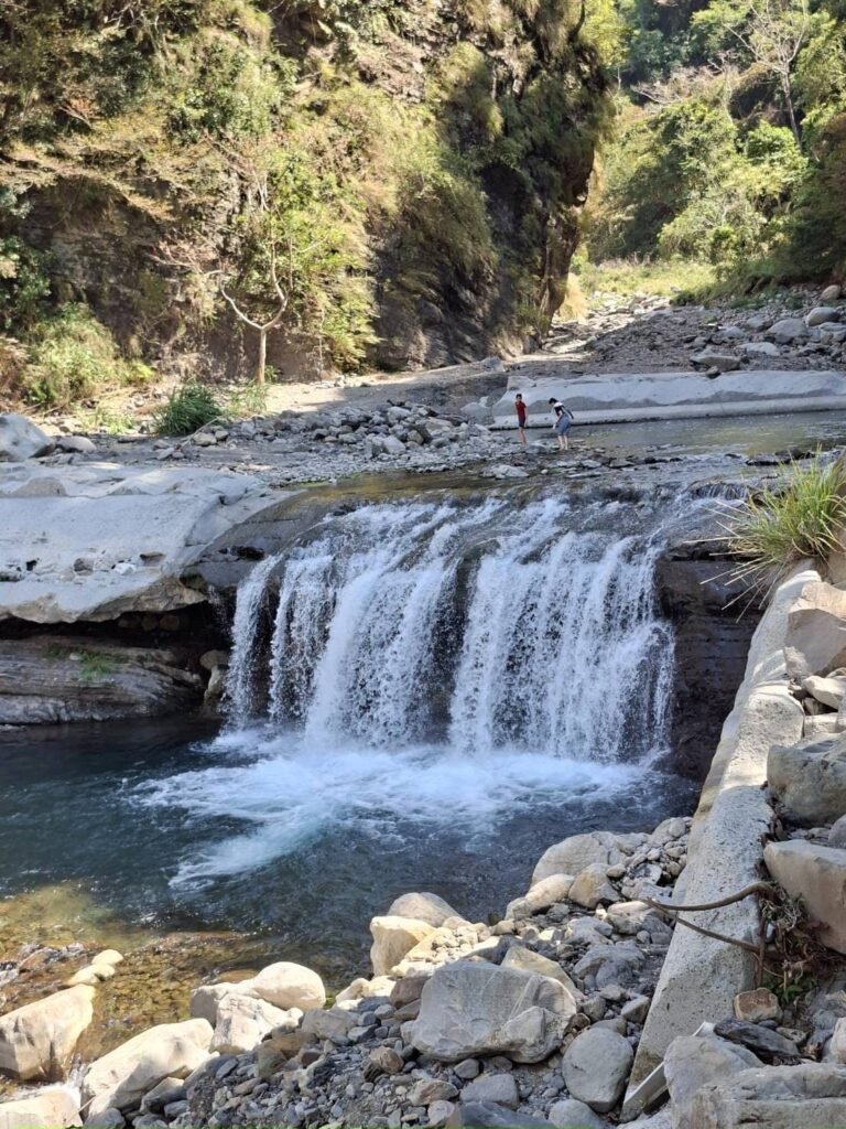
Shuiyun Waterfall / Dashimen Waterfall
Stream Trekking
Trail Highlights
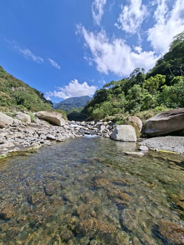
Quick Facts
Quick Facts
Location 📍 Shuiyun Waterfall · Tai’an Township, Miaoli County, Taiwan
start point https://maps.app.goo.gl/63shDRc4Y2oz9snR6
Activity 💧 Stream trekking / Waterfall hiking
Route Shuiyun Waterfall — Upstream via the stream, returning via the hiking trail
Distance 📏 3.18 km
Elevation gain ⛰️ +170 m
Total time ⏱️ 1 hr 33 min
Moving time 🚶 ~57 min
Average moving speed 🚶 3.36 km/h
Route type ↩️ Out-and-back — Trek upstream through the stream, then return via the hiking trail.
Public transportation 🚌 ❌ No direct public transportation access reported.
Parking 🅿️ Excellent — A large parking area near the entrance can accommodate dozens of cars.
Mobile signal 📶 Excellent — Mobile signal was available throughout the route.
Water exposure 💧 Optional, depending on the route — Turning left before the suspension bridge leads directly into the stream and requires crossing the water. The alternative hiking trail allows you to reach the waterfall area without entering the stream.
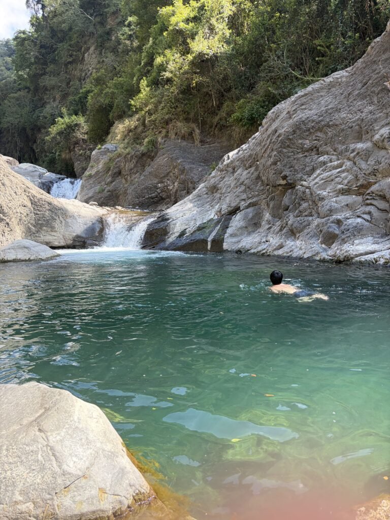
Swimming 🏊 Possible — A deep pool in front of the Big Stone Gate Waterfall is used for swimming. Water conditions can change, so assess the current depth and flow before entering.
Solitude 👥 Busy — Around five groups were encountered, and many visitors were gathered at the deep pool near the waterfall.
Shade ☀️ Limited — The stream-trekking section has virtually no shade. Trees along the hiking trail provide some shade, but the canopy is insufficient to fully block direct sunlight.
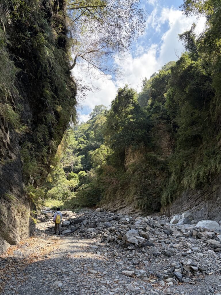
Trail surface 🪨 Concrete path, streambed, rocky creek banks, large rocks and an old wooden boardwalk. The rocks were relatively easy to walk on during this visit after approximately a week without rain.
Navigation 🧭 Easy along the stream — The stream follows a clear upstream route without confusing branches. On the hiking trail, avoid following the sign toward Hushan (虎山) unless you intend to take a much longer route.
Experience level 🥾 Easy in dry conditions — The approach includes a paved trail, and the rocky section toward the waterfall does not involve particularly large boulders. The stream route still requires careful footing and assessment of water conditions.
Toilets 🚻 No toilets were noticed during this visit.
Wildlife 🦋 No notable wildlife observed during this visit.
Record time:10/oct/2026
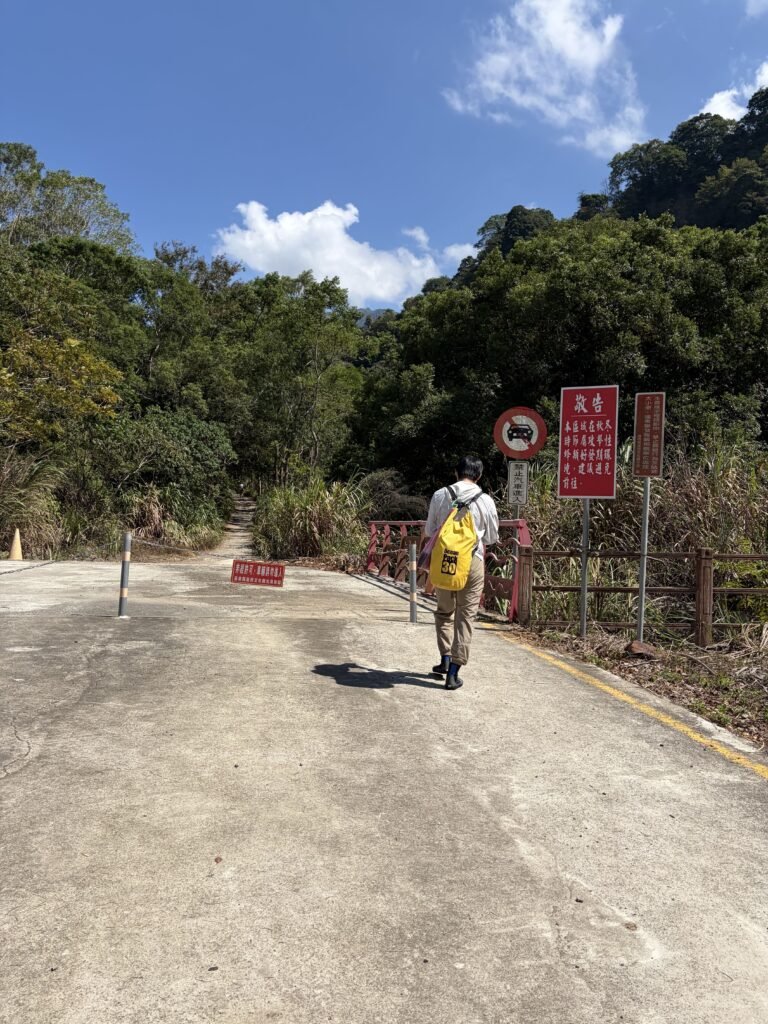
12:27 started
start point https://maps.app.goo.gl/63shDRc4Y2oz9snR6
Leave the parking lot and head to the left.
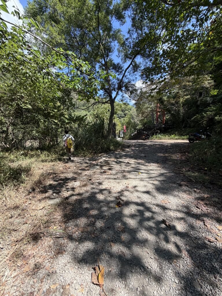
12:32◀Junction-left
When you see the Shuiyun Suspension Bridge, turn left.
⚠️This is the route we took. Alternatively, you can cross the Shuiyun Suspension Bridge and follow the trail—keeping an eye out for signs pointing toward Shuiyun Waterfall(水雲瀑布)—until you reach the end; this will also lead you to the same path, without the need to wade through any water.
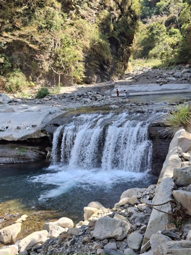
12:34📍 Viewpoint
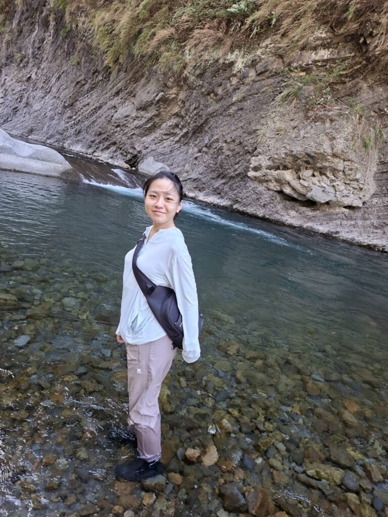
12:36 wade across a shallow stream
The water is about ankle-deep.
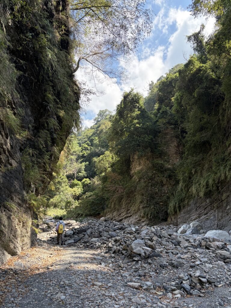
12:38📷 Trail View
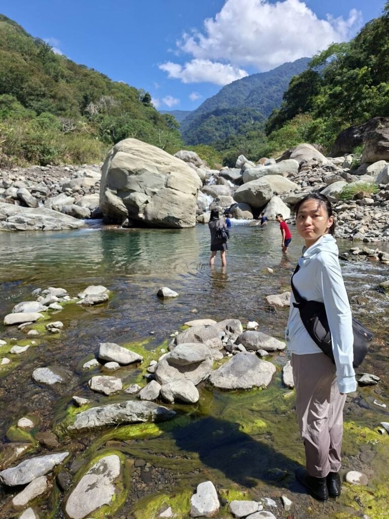
12:41🏊 Natural pool
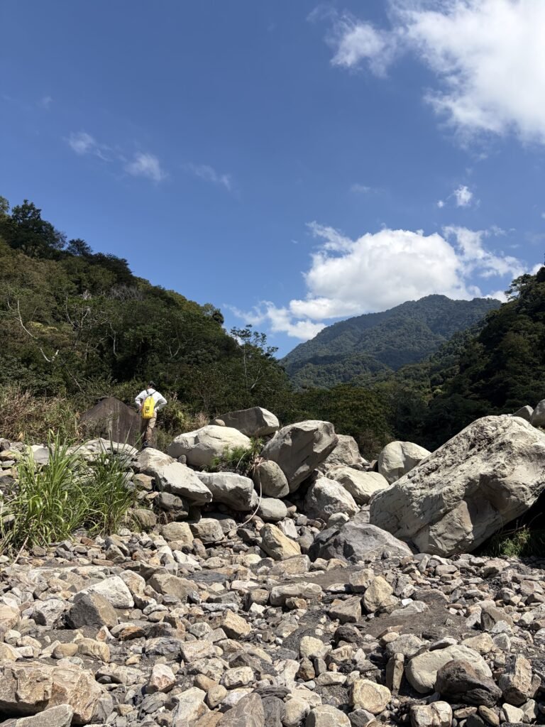
12:47 📷 Trail View
Requires climbing over fairly large rocks.
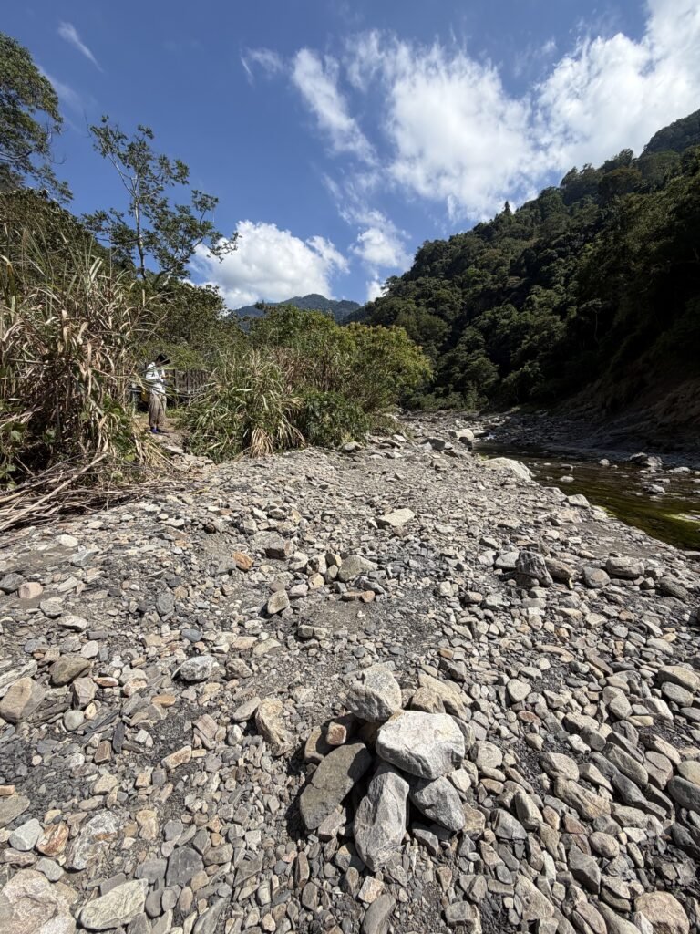
12:49◀Junction-left
It will be easier to walk if you head back to the trail on the left.
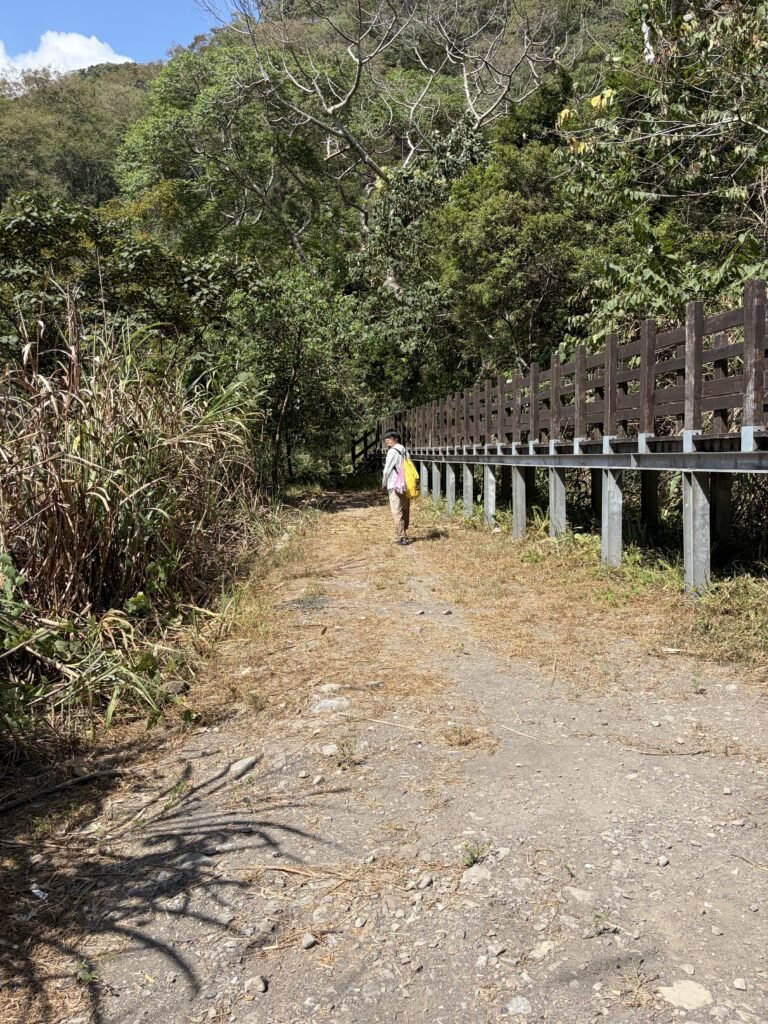
12:49◀Junction-left
head back to the trail
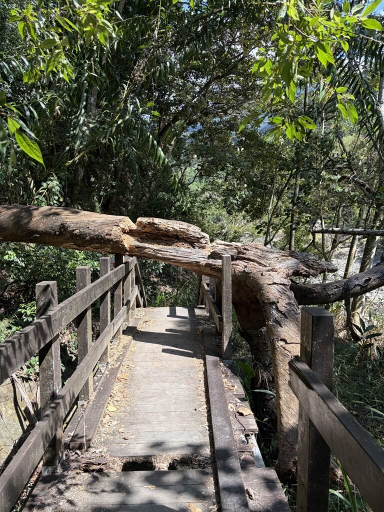
12:54📷 Trail View
The trail has not been maintained for a long time; please be mindful of your safety.
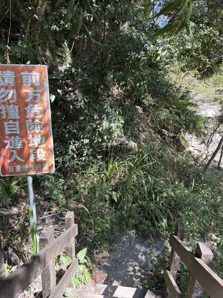
12:54⚠️Warning Slogan
In fact, this sign means: there is a dangerous area ahead—please do not enter.
But you know😉.
When you reach the riverside, take a good mental note of the scene—or perhaps leave a marker by stacking some stones—so you don’t miss this turnoff on your way back.
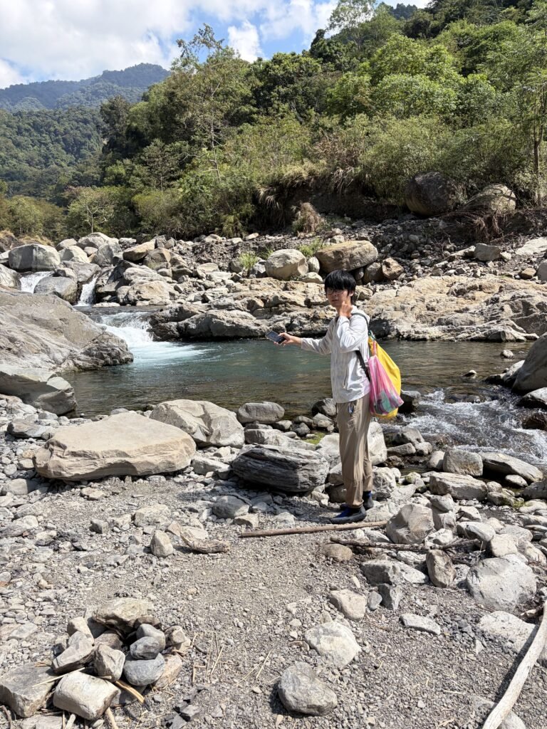
13:01🏊 Natural pool No.2
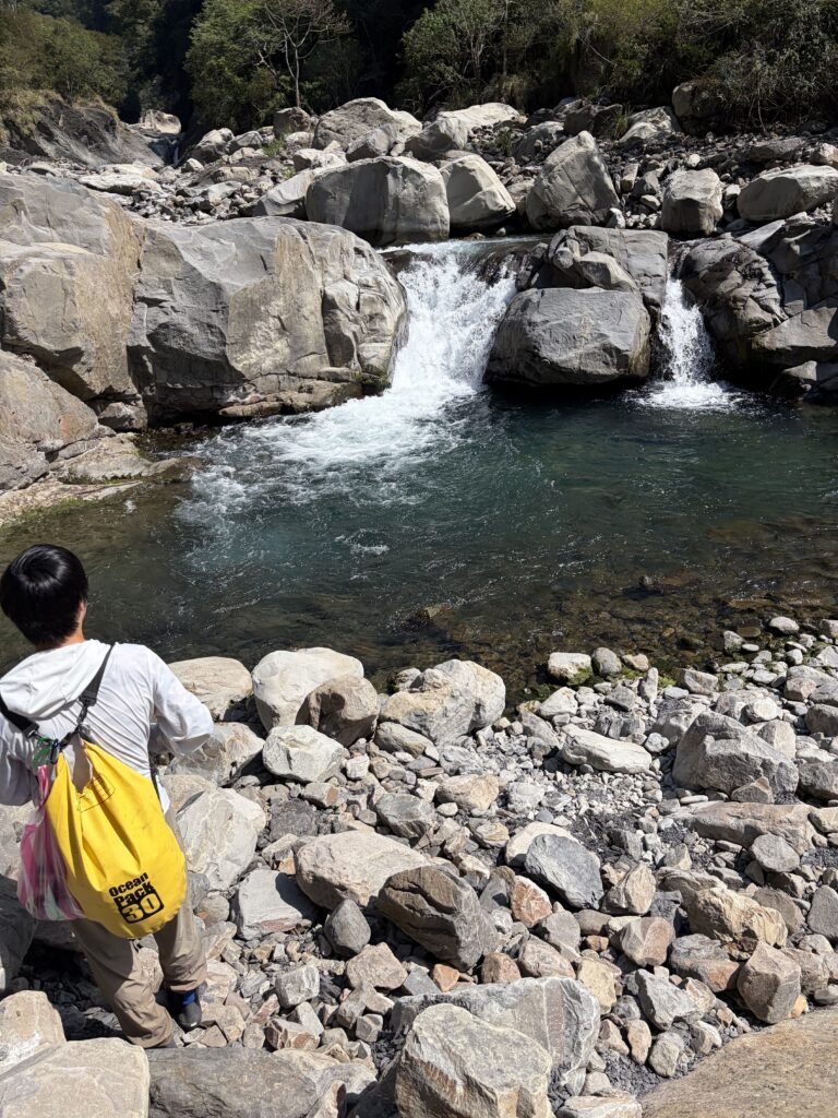
13:03🏊 Natural pool No.3
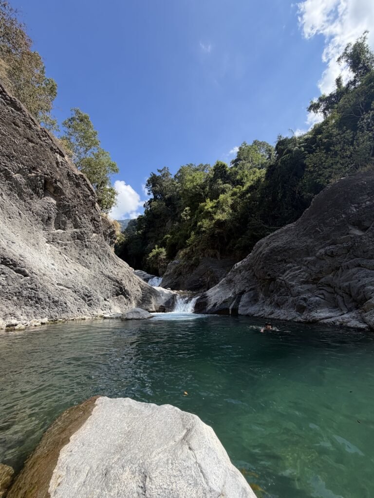
13:11🏊 The final and the biggest one-Natural pool No.4
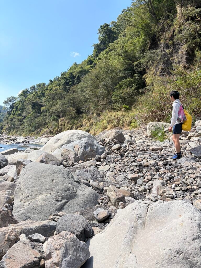
13:29 Head back
Just as on the way here, continue following the stream.
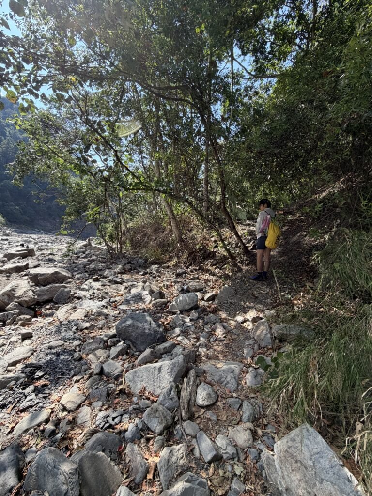
13:46▶Junction-right
This side path is very easy to miss, so keep a close eye on your right-hand side.
You might also want to leave a subtle, natural marker—like a small stack of stones—the first time you pass by.
If you do happen to miss it, just keep moving forward; once you reach the Shuiyun Suspension Bridge, you can head back to the main trail from there.
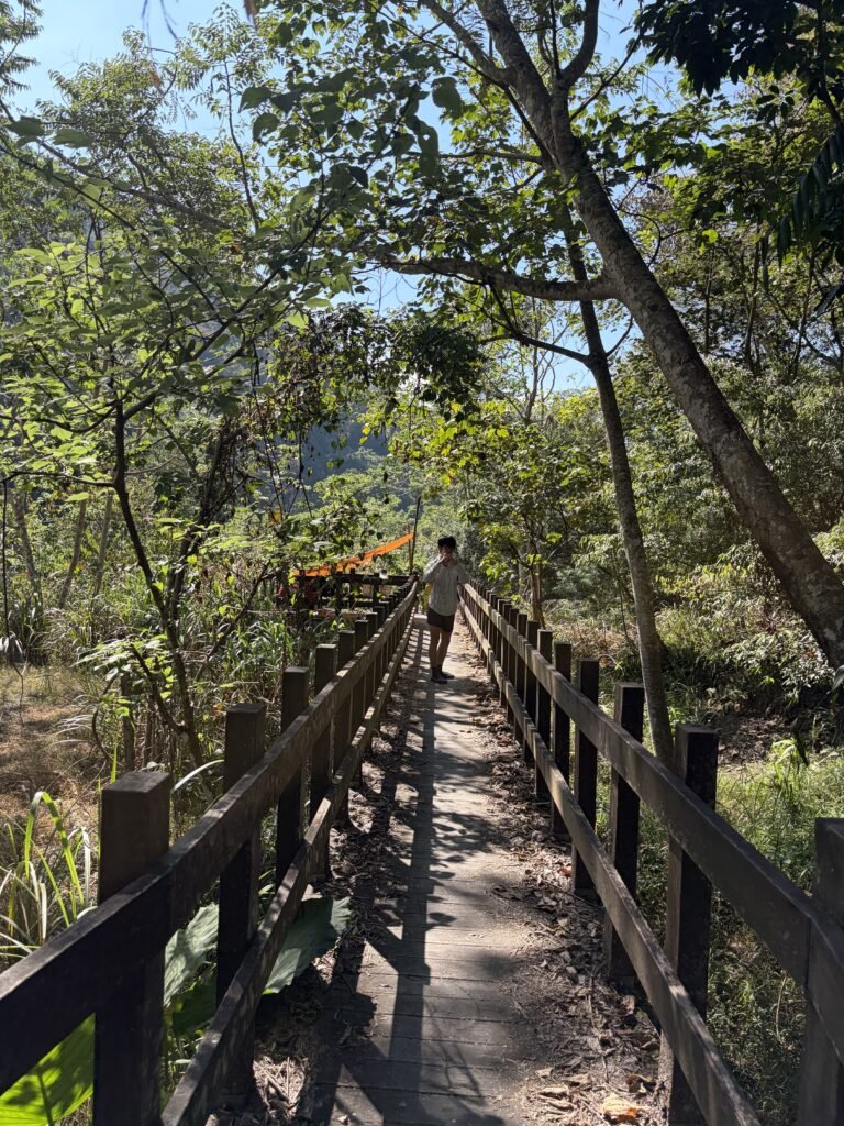
13:47📷 Trail View
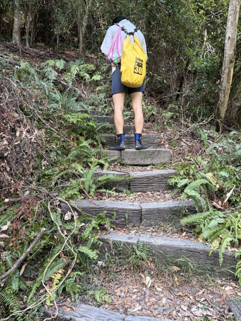
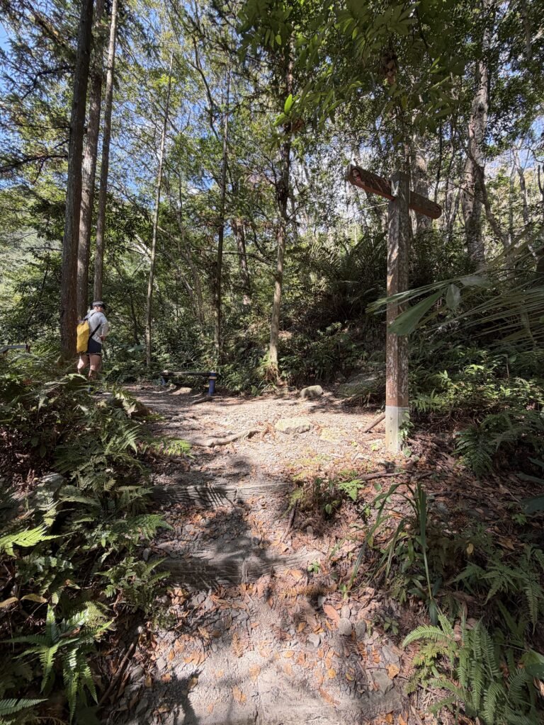
13:54◀Junction-left
There’s a signpost on the right side of the image.
if you head in that direction, you’ll end up deep in the mountains.
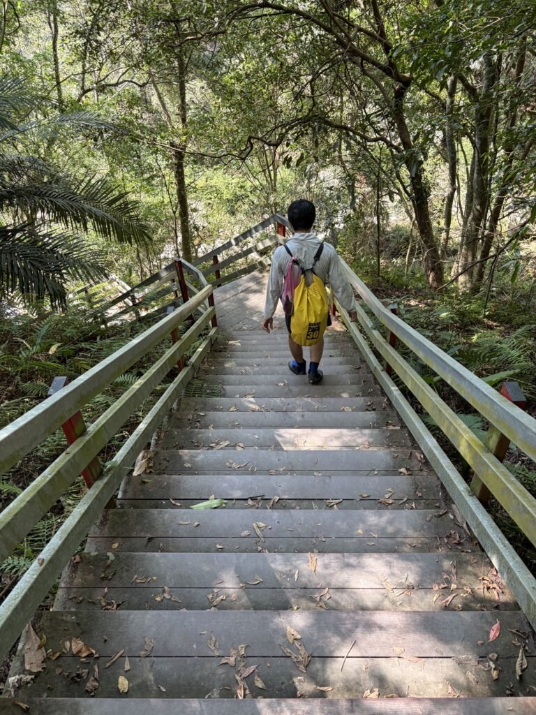
13:55📷 Trail View
I slipped here.😭
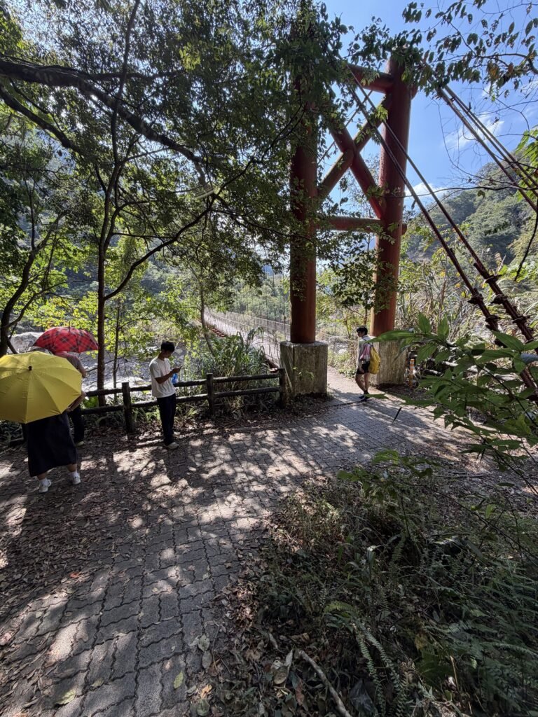
13:58📍 Viewpoint
suspension bridge.
If you look to the left, you will see the waterfall we spotted at 12:34.