
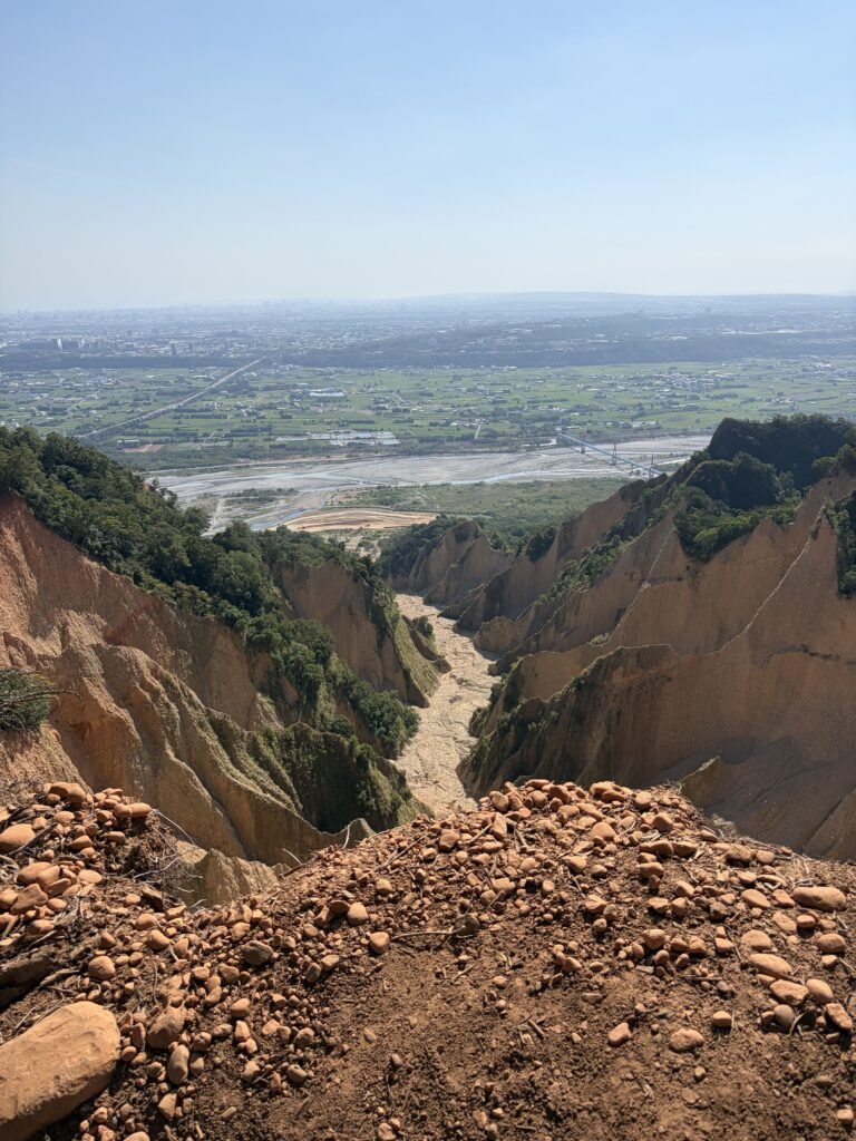
Flame Mountain/ Huoyanshan
Hiking Routes
Trail Highlights

Quick Facts
Location
📍 Sanyi, Miaoli, Taiwan
Activity
🥾 Hiking
Route
Huoyanshan Loop Trail
Distance
📏 7.13 km
Elevation gain
⛰️ +495 m
Total time
⏱️ At least 3 hr 37 min, from 12:33 PM to 4:10 PM, excluding the unrecorded walk back to the parking lot.
Moving time
🚶 ~2 hr 30 min
Route type
🔄 O-shaped loop — Many hikers choose to turn back at the Grand Canyon viewpoint instead of completing the loop.
Public transportation
🚌 Accessible — Take a train and transfer to a bus. Get off at Bogongkeng (伯公坑) bus stop, then walk approximately 5 minutes to the trailhead.
Parking
🅿️ Available — Search for “Huoyanshan Parking Lot” (火炎山停車場). It accommodates approximately 10 cars or slightly more.
Mobile signal
Toilets
🚻 Available near the trail entrance. No proper toilets were found along the trail. A toilet sign near a junction at a higher elevation appeared to point toward a secluded area in the woods rather than an actual restroom.
Wildlife
🦋 No notable wildlife observed during this visit.
📶 Excellent — Mobile signal is available along approximately 99% of the route.
Water exposure
💧 ❌ None — No streams or other water features along the hiking route.
Swimming
🏊 ❌ Not applicable — No streams or swimming areas along the route.
Solitude
👥 Busy — This is a very popular hiking trail. The trail is well established and frequently used by hikers.
Shade
🌳 Limited — Trees are present along parts of the trail, but the canopy is too sparse to provide substantial shade over most of the path. There are very few sections with full protection from direct sunlight.
🪨 Stone steps and paths made from individually piled rocks, rather than continuous, uniformly constructed stone stairways.
Navigation
🧭 Relatively easy — Although there are many junctions, the main route is generally easy to identify. Viewpoints on the left-hand side of the uphill trail are usually short detours that require retracing your steps. Connecting paths generally lead back to the main route.
Experience level
🥾 Moderate — The trail is well established and relatively easy to navigate, with few sections requiring the use of ropes. However, the uneven, naturally piled rocks and sandy soil can be slippery, especially when wet.
Navigation
🧭 Easy — Despite numerous junctions, the main route is generally easy to identify. The trail is popular and frequently used by other hikers.
⚠️ Safety
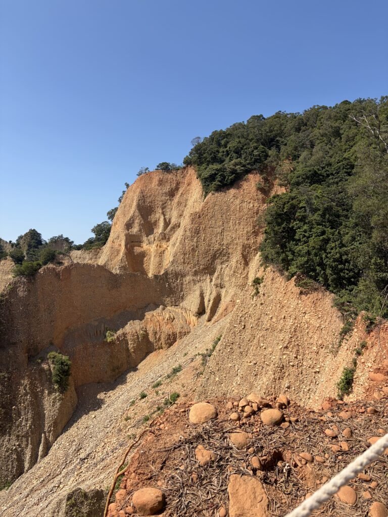
Some viewpoints are located directly beside steep cliffs, and certain areas have no protective barriers. Keep a safe distance from cliff edges, wear shoes with good traction, and avoid hiking in wet conditions when the rocks and sandy soil may become slippery.
Record time:9/oct/2026
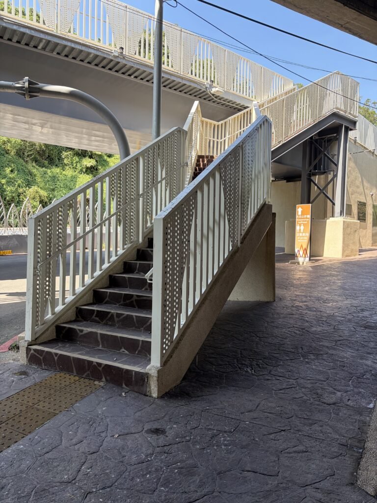
12:33 started
start point:“Huoyanshan Parking Lot” (火炎山停車場)
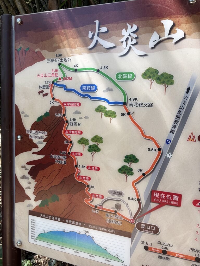
12:36◀Junction-left
Trail Map Sign
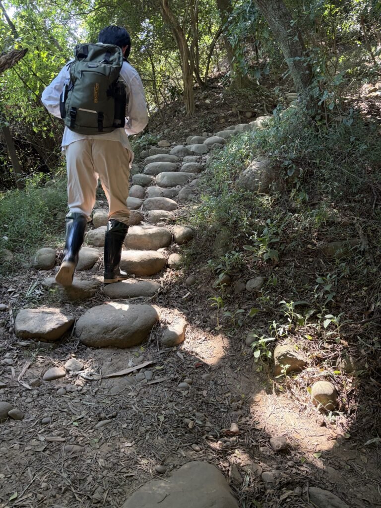
12:37📷 Trail View
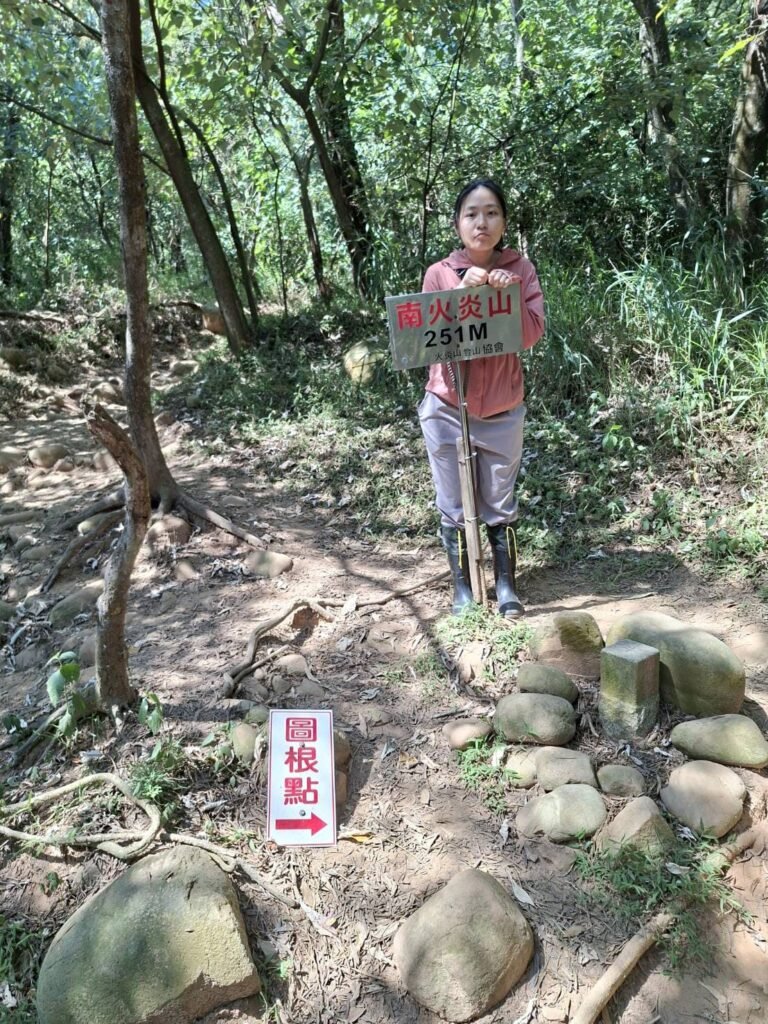
12:42 Survey Marker
Nan Huoyanshan 251M

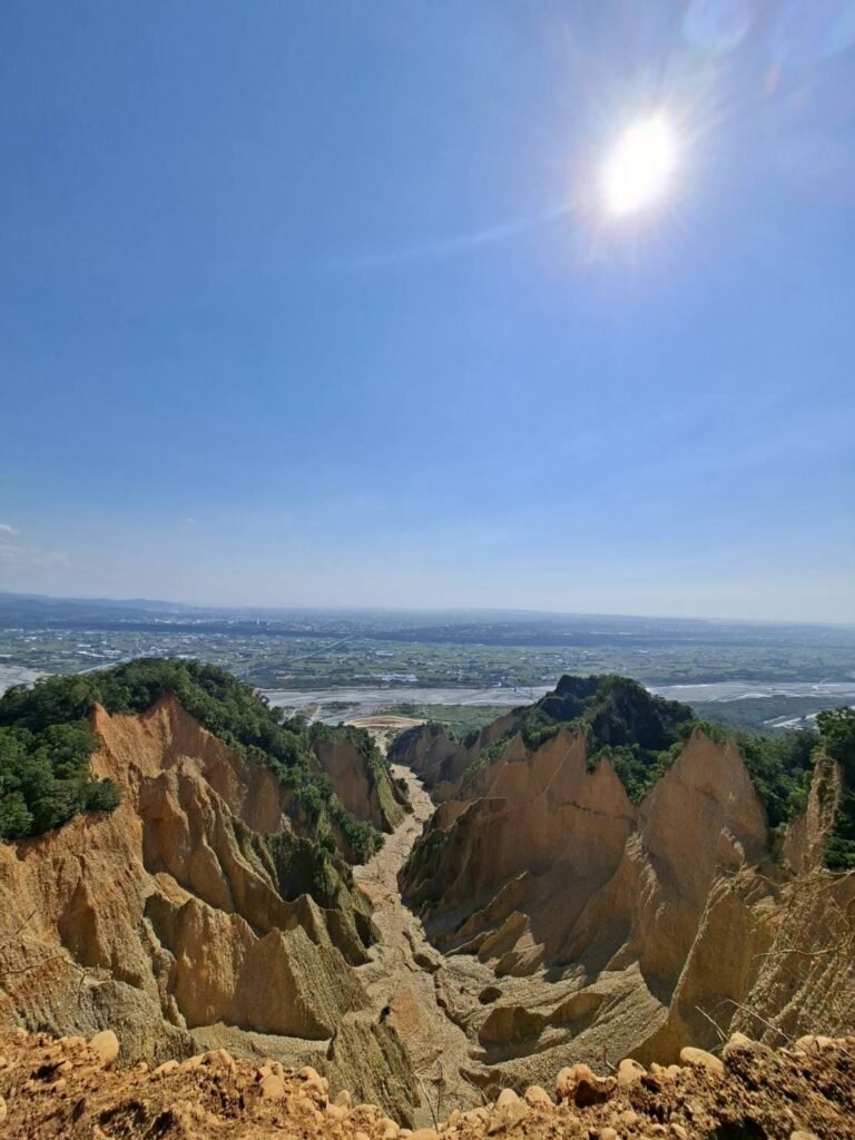
14:12📍 Viewpoint
Huoyanshan Grand Canyon
Many people turn back once they reach this point.
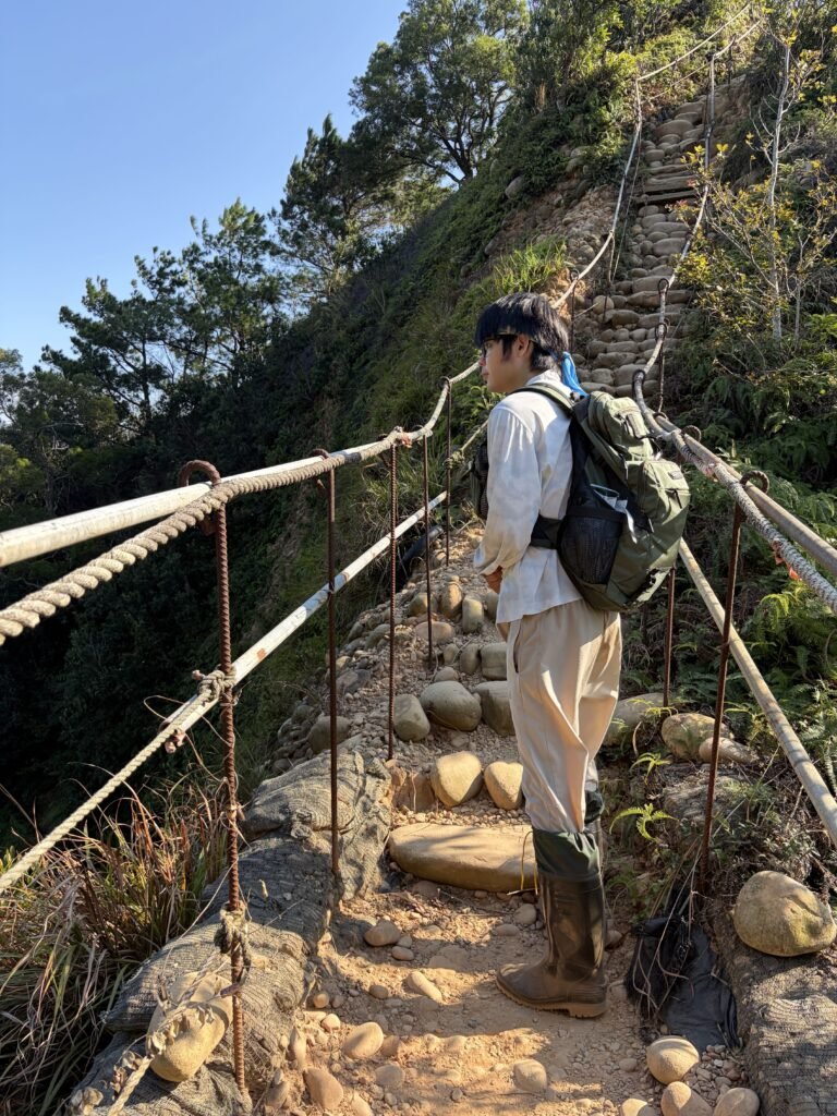
14:52📷 Trail View
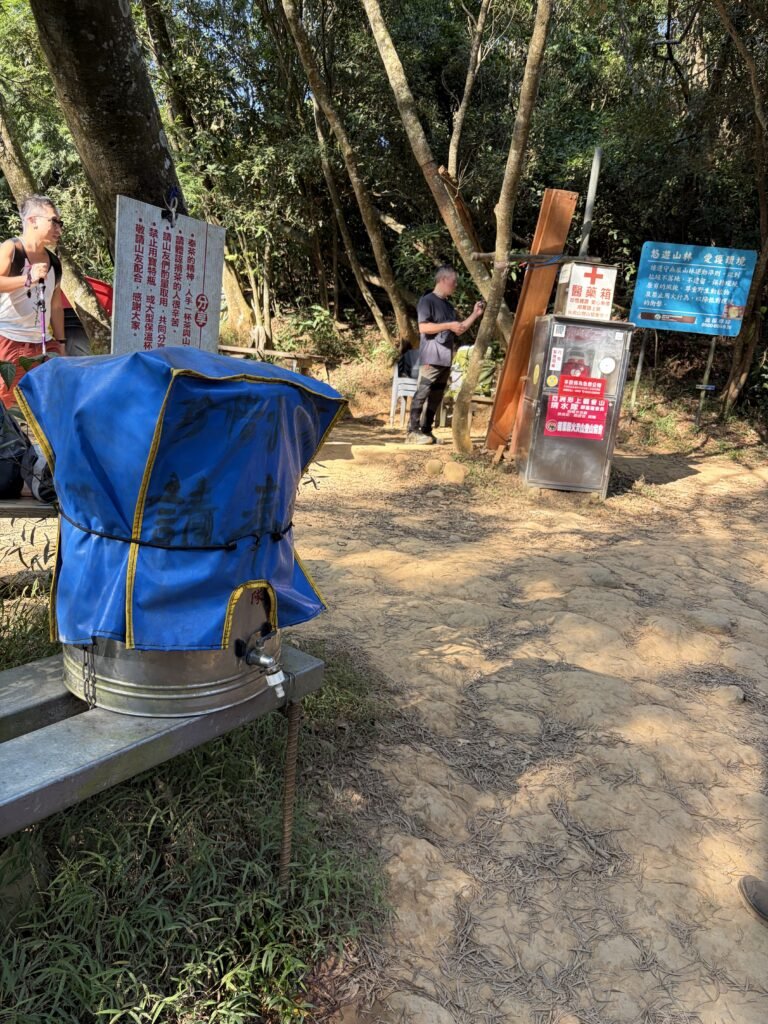
15:11 🥤Rest Stop
Dedicated members of the hiking club carry water up the mountain and leave large containers here for other hikers to use.
Although there are makeshift restrooms, they consist of nothing more than a secluded spot in the woods—with no flushing facilities.
In this photo, the path further ahead leads to a more distant trail, but just a five-minute walk away is the Huoyan Mountain triangulation point—a great spot for photos. The other path, which is closer, covers a shorter distance.
After reaching the triangulation point to take some photos, we headed back down via the shorter trail.

15:29🏔️Summit Marker
Huoyanshan Summit Marker 602m
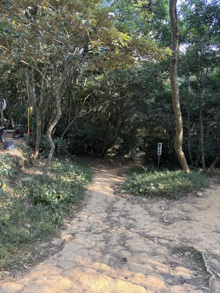
15:34📷 Trail View
Shorter trail start point.
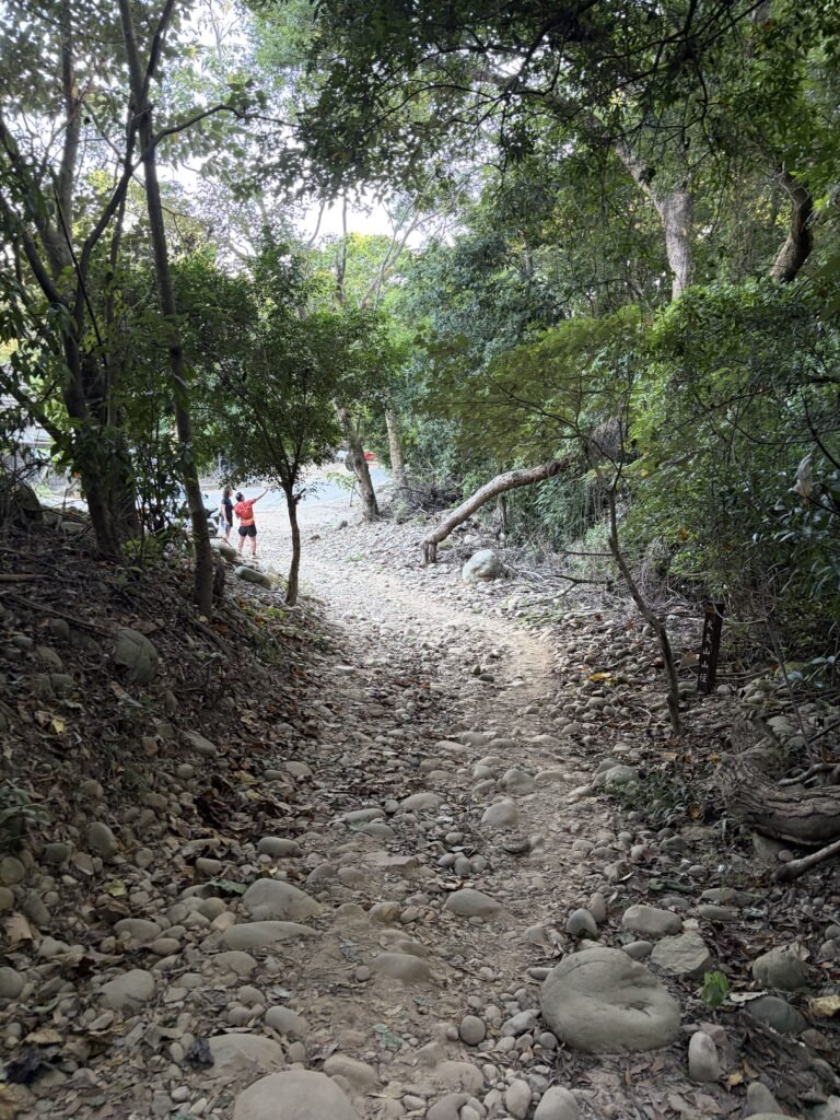
16:10📷 Trail View
Leaving the mountain trail and reaching the paved road