Buyan Pavilion-Mudanshan
Hiking Routes
Trail Highlights
Quick Facts
Location
📍 Ruifang, New Taipei, Taiwan
Activity
🥾 Hiking / Historic trails
start point
Buyan Pavilion
Route
Buyan Pavilion → Mt. Mudan → Diao Shan Historic Trail → Tomb of Lost Love → Shisan Ceng Waterside Park → Jinzibei Historic Trail → Buyan Pavilion
Distance
📏 9.96 km
Elevation gain
⛰️ +702 m
Total time
⏱️ ~4 hr 50 min
Moving time
🚶 ~3 hr 5 min
Highest point
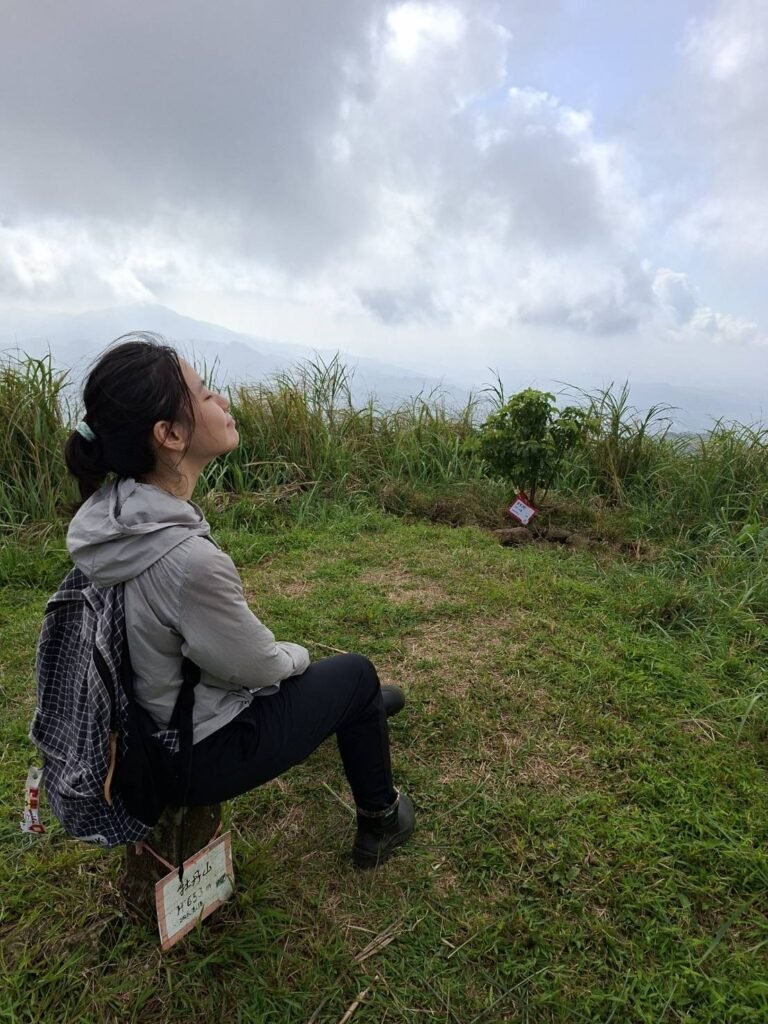
⛰️ Mt. Mudan — 698 m, with a triangulation point
Public transportation
🚌 ❌ No direct access. The nearest bus stops are around Gegeding or Jinguashi, followed by approximately 5 km of walking to Buyan Pavilion.
Parking
🅿️ Available near Buyan Pavilion — enough space for several vehicles, approximately 3–5 cars.
Mobile signal
📶 Very good — Approximately 90% of the route has mobile signal.
Water exposure
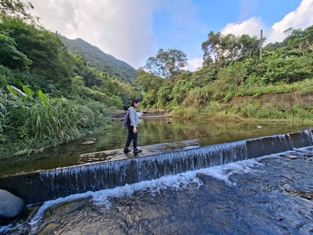
💧 Optional — The trail does not require entering the water, but you can walk into the stream at 親水公園.
Swimming
🏊 ❌ Not suitable for swimming.
Solitude
🧍 Very high — I only saw two people along the mountain trails.
Shade
☀️ Limited — Around 70% of the route is exposed. Mt. Mudan is covered mainly by tall silvergrass with little shade. Diao Shan Historic Trail has some shaded sections, while the main road is fully exposed. The upper section of Jinzibei Historic Trail appears to be mostly shaded.
Trail surface
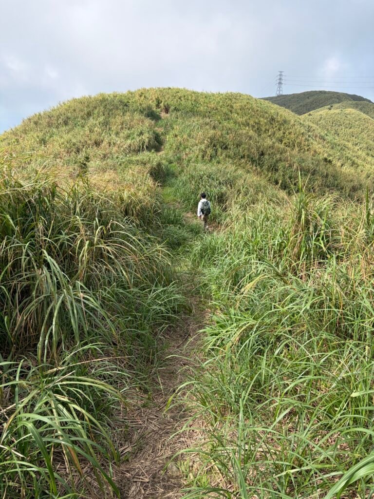
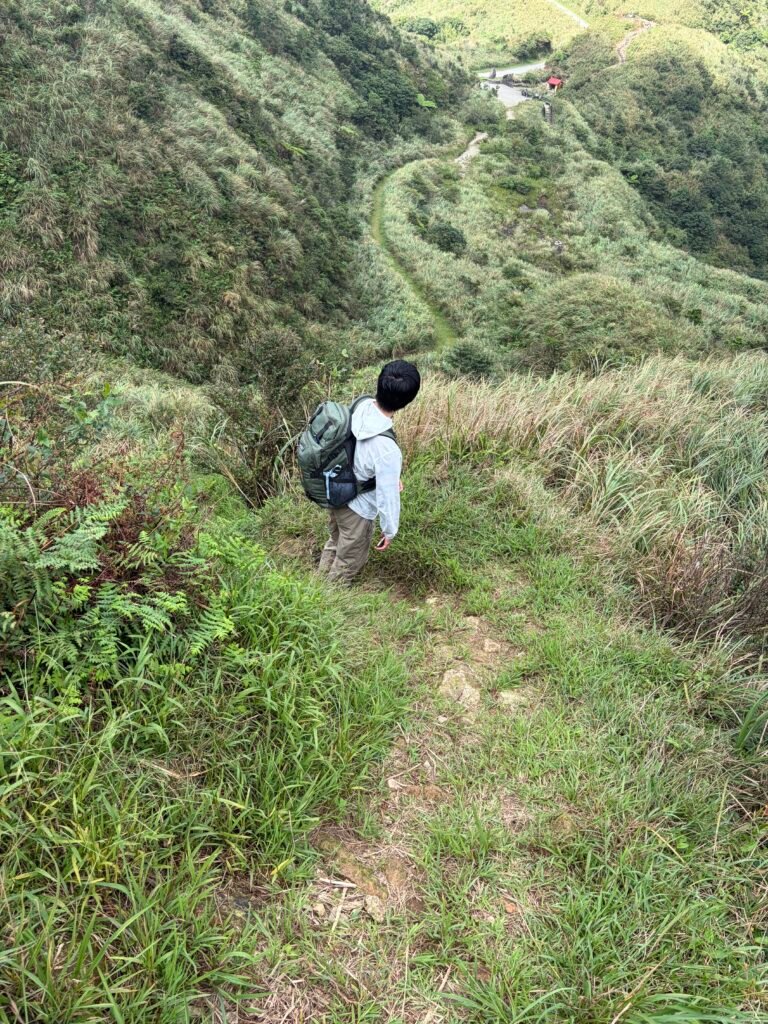
⛰️ Steep and slippery dirt trails on the way to Mt. Mudan; gentle stone steps and paved sections along Diao Shan Historic Trail; mostly stable dirt trail on the return via Jinzibei Historic Trail.
Experience level
🥾 Moderate to difficult — The section before Diao Shan Historic Trail is the most challenging, with steep and slippery uphill terrain. Some downhill sections can also be slippery. The route becomes considerably easier after reaching Diao Shan Historic Trail.
Toilets
🚻 Available at 親水公園; none observed along most of the route.
Wildlife
🐝 Bees were present near the summit of Mt. Mudan.
Dogs
🐕 A local resident’s dog barked loudly while I was attempting to explore a historical site.
Record time:19/sep/2026
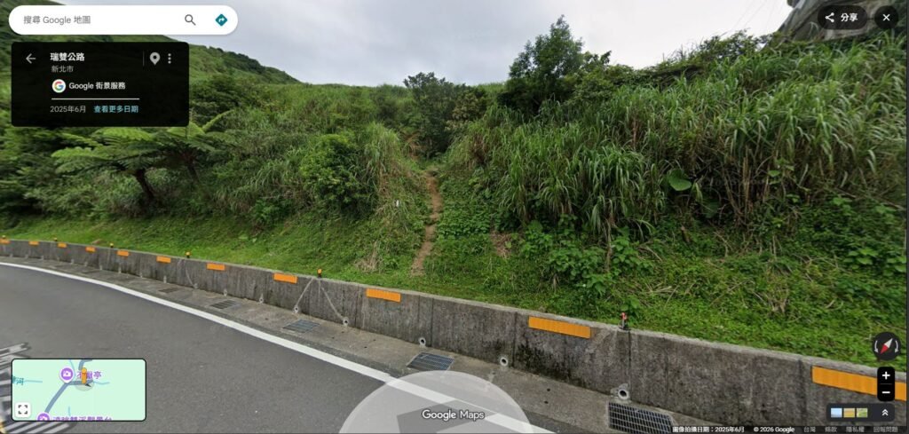
14:14 started
start point:Buyan Pavilion
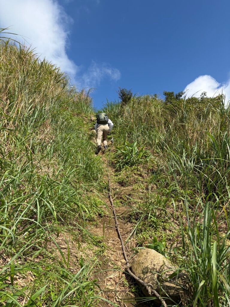
14:20📷 Trail View
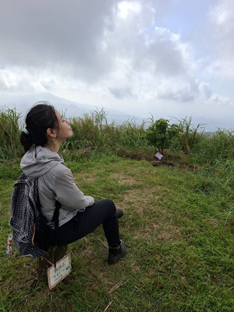
14:39🏔️Summit
Summit marker at the top of Mudanshan-653M
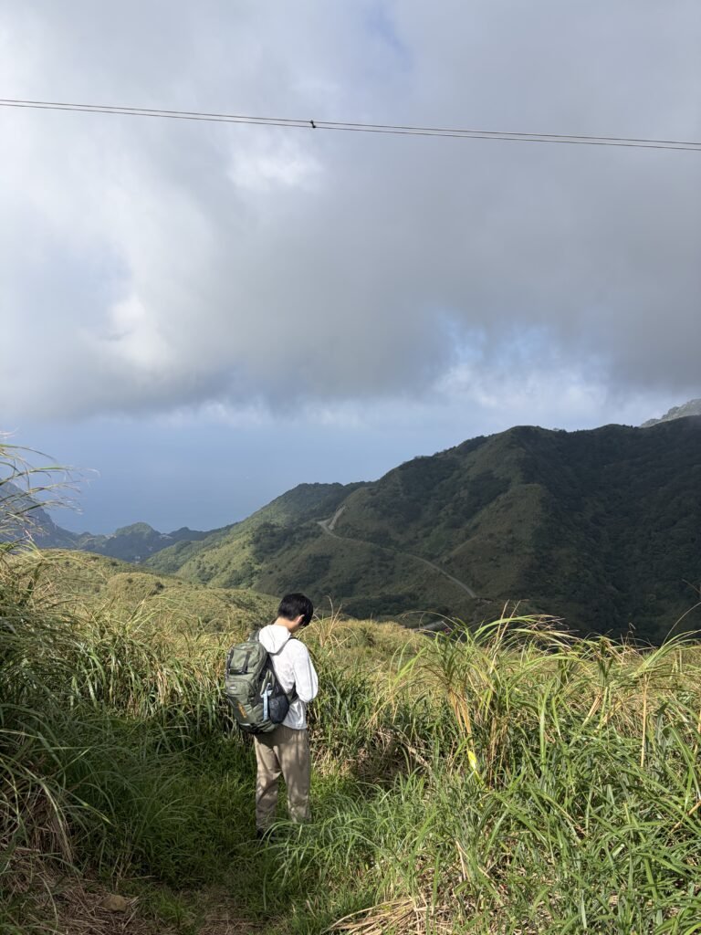
14:42▶Junction-right
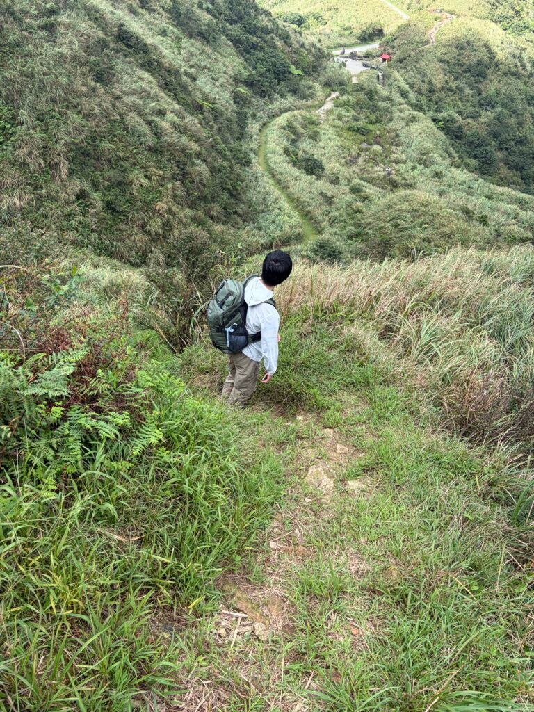
14:56📷 Trail View
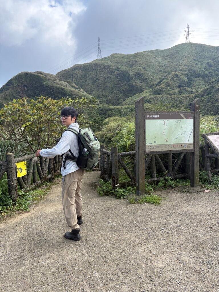
15:03-📍 Diaoshan Historic Trailhead
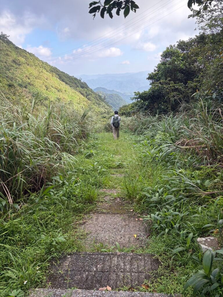
15:22📷 Trail View
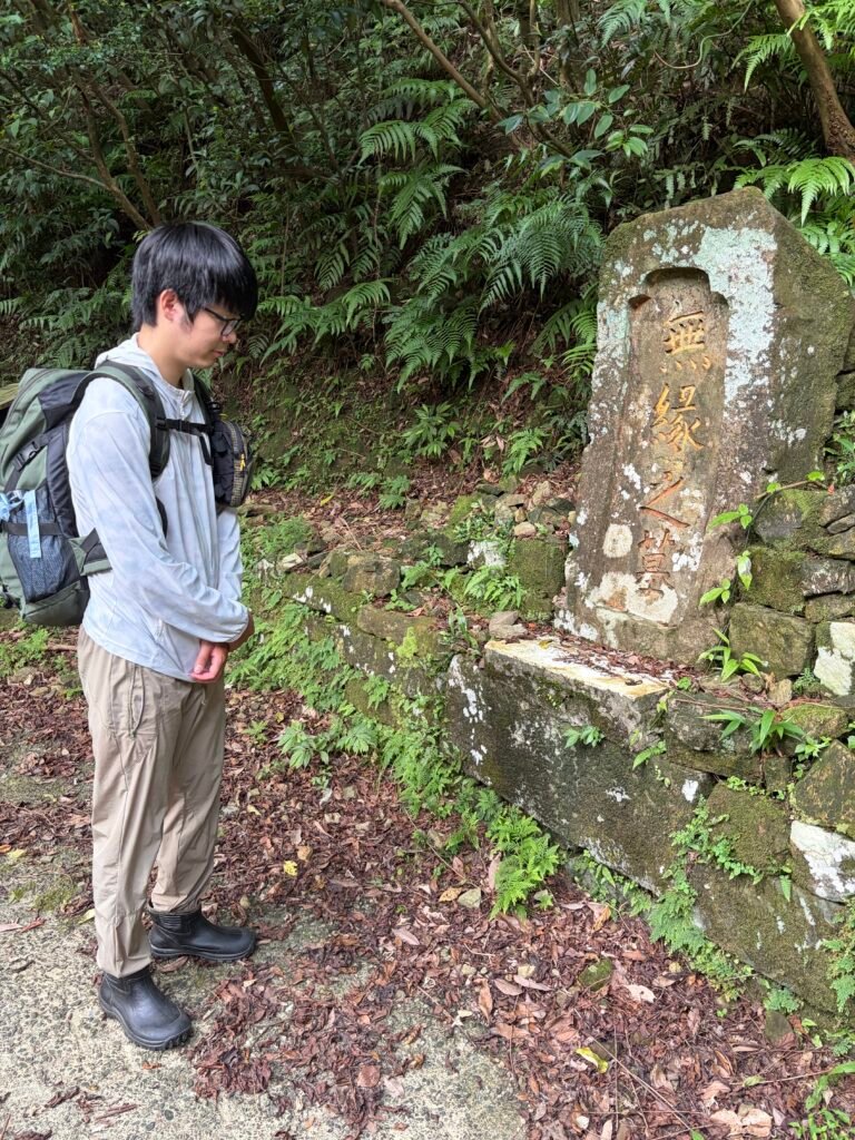
15:53📍 Viewpoint
Tomb of Unrequited Love
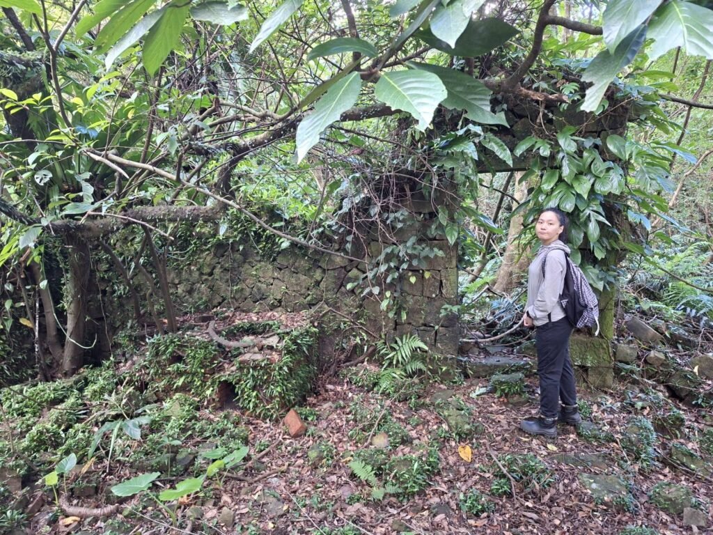
16:10📍House Ruins
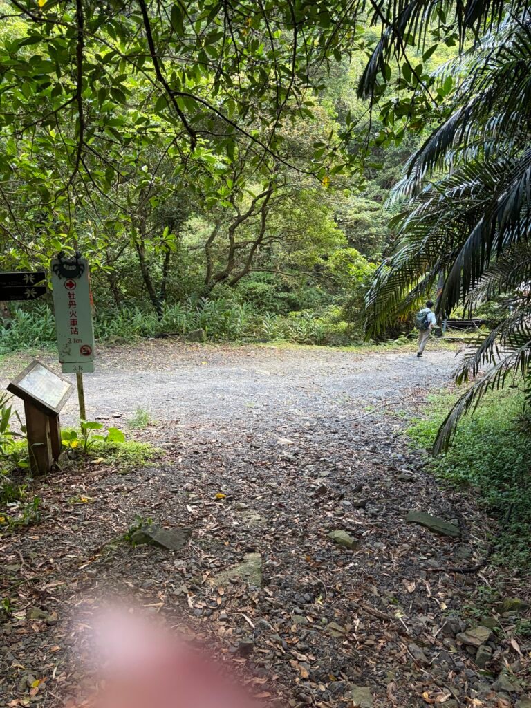
16:27▶Junction-right
🚾toilet
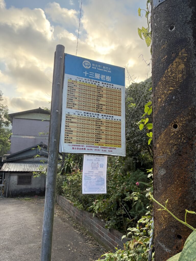
16:38 bus station
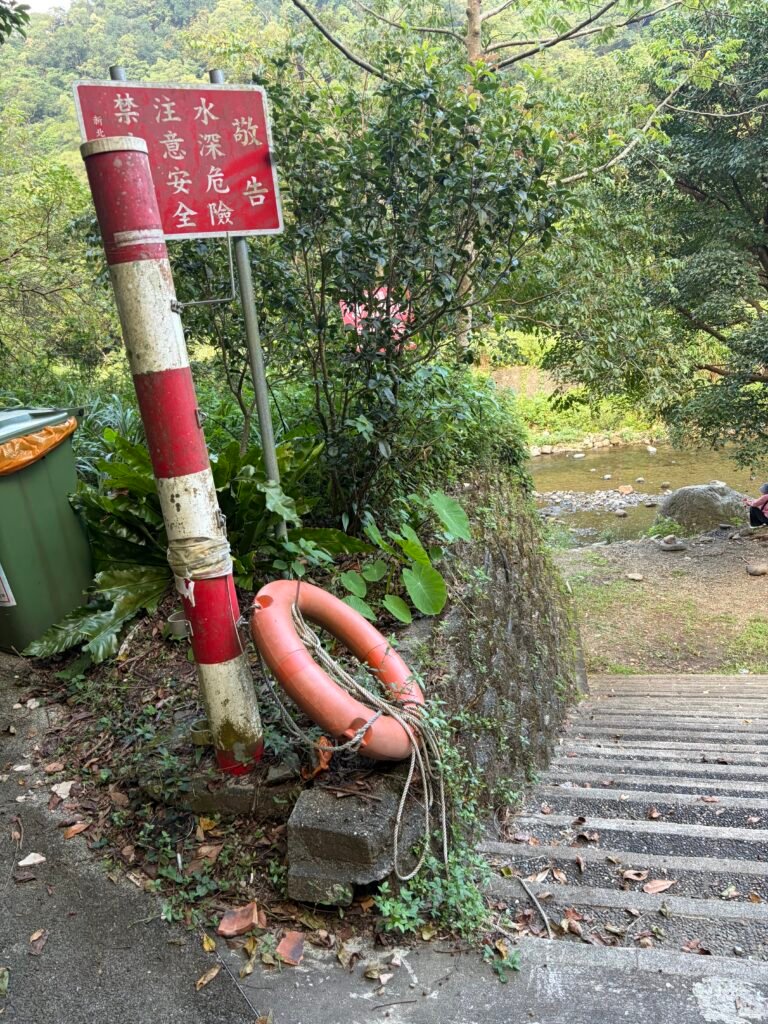
16:43📍Riverside Park
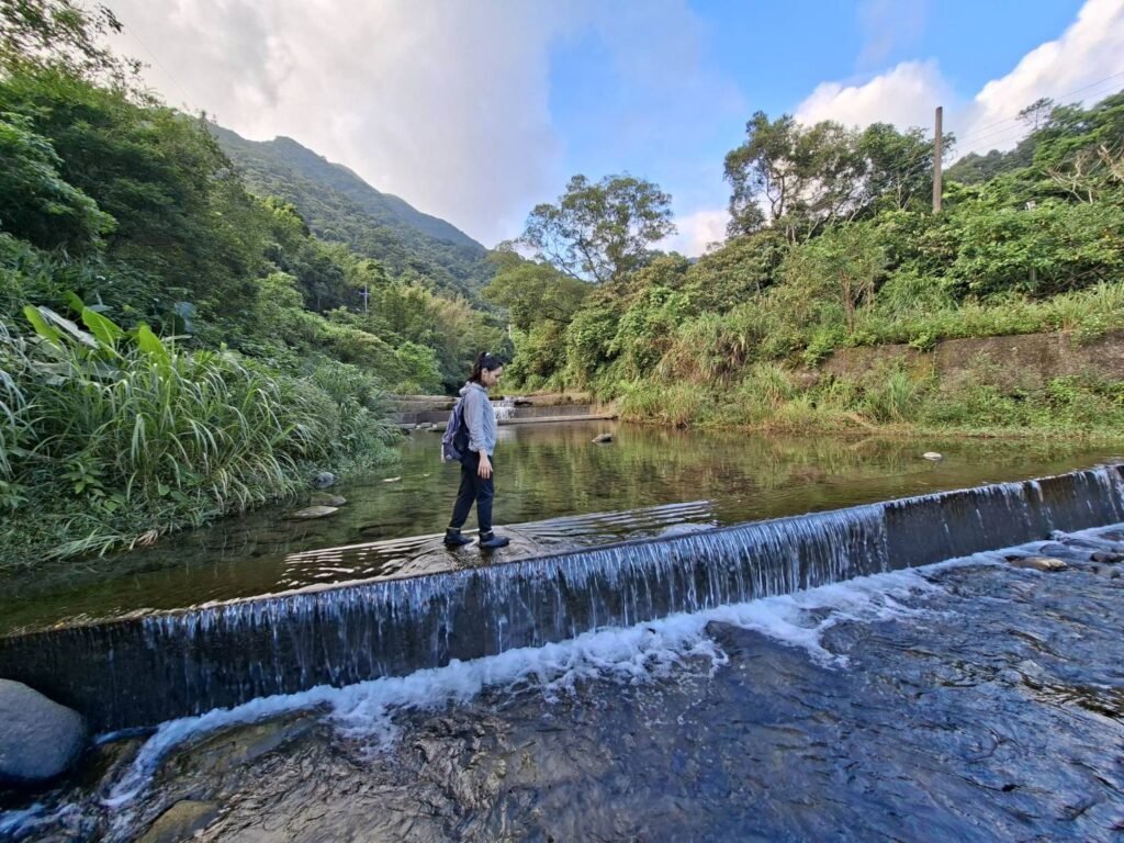
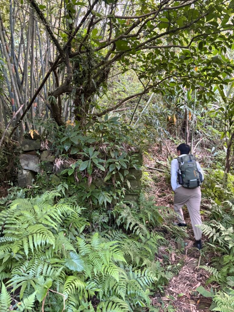
17:25
Attempt to explore another historical site, but turn back because the route is poorly maintained and the original trail is no longer clearly visible, making it easy to get lost.
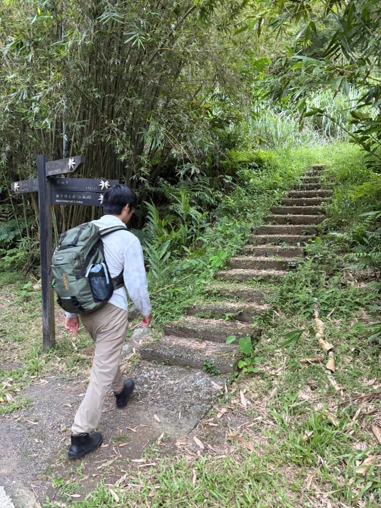
15:51-📍Jinzibei Historic Trail
Get back
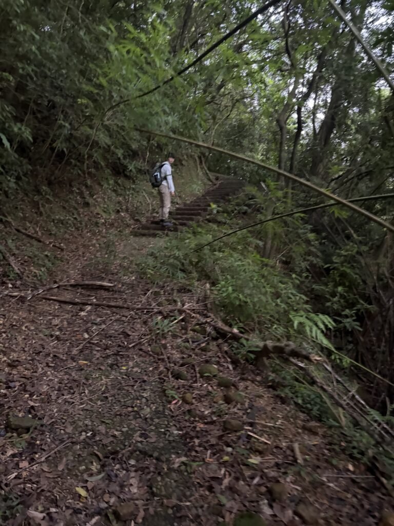
17:47📷 Trail View
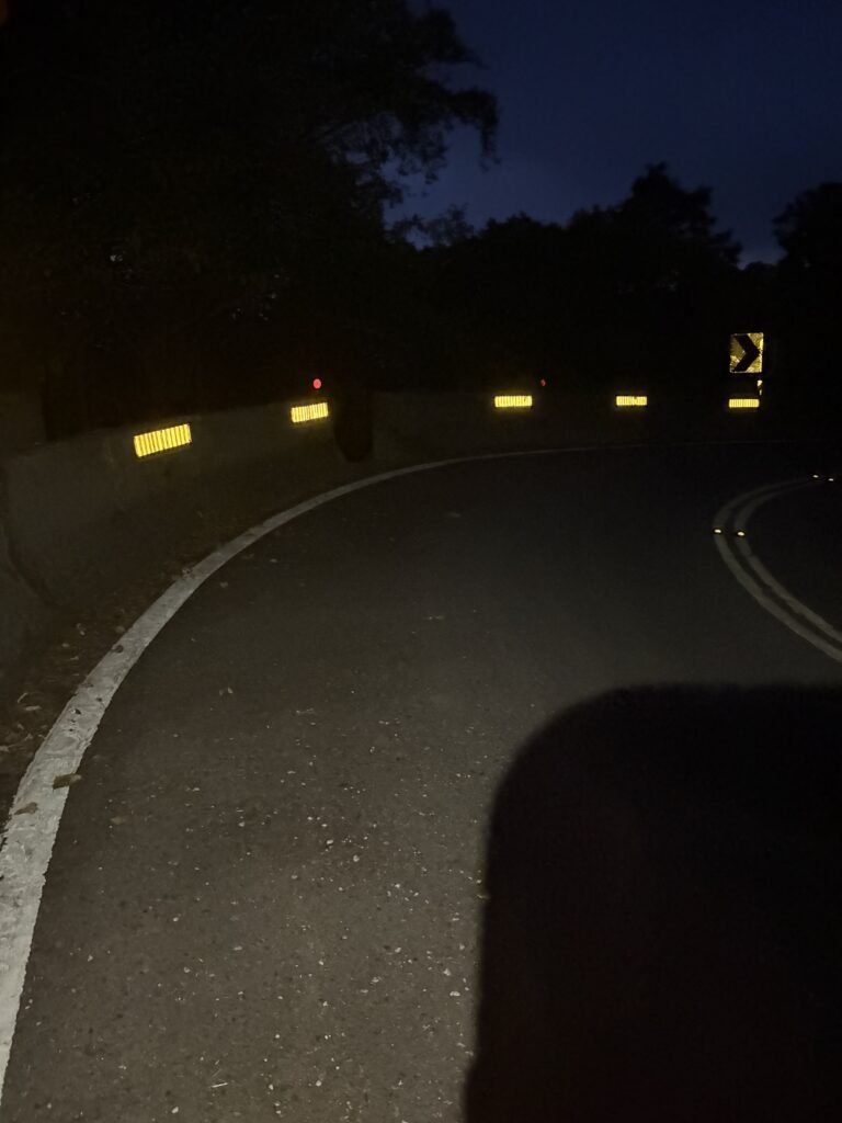
18:24📷 Trail View
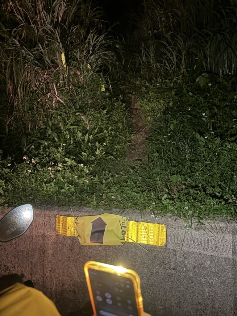
Reach the main road and continue uphill along the road.